City of Porter issued the following announcement on Feb. 11.
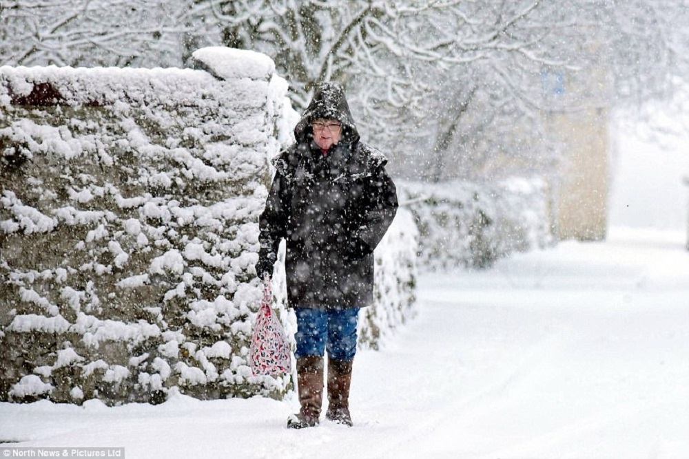
Dangerous Winter Storm Approaching, National Weather Service has placed the region in a Blizzard Warning through 6:00 PM on February 12 with a windchill warning overnight.
Blizzard Warning issued February 12 at 4:30AM CST until February 12 at 6:00PM CST by NWS Twin Cities/Chanhassen MN
Alert....Blizzard Conditions Expected In Western Minnesota Today...
...Dangerous Wind Chills Expected This Evening Through Thursday Morning...
A Blizzard Warning remains in effect for portions of west
central and southwest Minnesota starting this morning, and
continuing through the afternoon. A Winter Weather Advisory has
been issued east of the Blizzard Warning for blowing snow and
possible near-blizzard conditions at times, as well as the
potential for flash freezing roadways and surfaces as temperatures
plummet this afternoon behind an Arctic front. Wind Chill
Warnings remain in effect for west central through southwestern
Minnesota, and have been extended farther east into central and
south-central Minnesota. Wind Chill Advisories remain in place
for east central Minnesota, southeast Minnesota and west-central
Wisconsin Wednesday night into Thursday morning.
Confidence remains high based on upstream observations that
blizzard conditions will develop this morning and afternoon
across portions of west central and southwest Minnesota, mainly
west of a Morris to Redwood Falls to St. James line. East of the
blizzard warning, winds will be lighter and visibilities are not
expected to drop to blizzard criteria, but areas of blowing snow
and periods of near- blizzard conditions remain possible possible
during a few hours of light snow later this morning and afternoon.
Plummeting temperatures this afternoon and evening may lead to
flash freezing of this light snow on roadways and surfaces, with
impacts to the evening commute expected.
In addition to the blizzard conditions, temperatures will drop
off sharply behind the Arctic front. Wind chill values will drop
to 25 to 30 degrees below zero by this afternoon in west central
Minnesota, with wind chills of 35 to 40 degrees below zero likely by
the evening. These dangerous wind chills will continue into mid-
morning Thursday. In eastern Minnesota into western Wisconsin,
wind chills will drop to between 25 and 35 degrees below zero late
Wednesday night through Thursday morning.
* WHAT...For the Blizzard Warning, blizzard conditions expected.
Total snow accumulations of up to one inch. Winds gusting as
high as 40 mph. For the Wind Chill Warning, dangerously cold
wind chills expected. Wind chills as low as 40 below zero.
* WHERE...Yellow Medicine, Chippewa, Lac Qui Parle, Swift and
Redwood Counties.
* WHEN...For the Wind Chill Warning, from 6 PM this evening to
10 AM CST Thursday. For the Blizzard Warning, from 9 AM this
morning to 6 PM CST this evening.
* IMPACTS...Plan on slippery road conditions. Areas of blowing
snow could significantly reduce visibility. The hazardous
conditions could impact the morning or evening commute. The
dangerously cold wind chills could cause frostbite on exposed
skin in as little as 10 minutes.
Instructions
Travel should be restricted to emergencies only. If you must
travel, have a winter survival kit with you. If you get stranded,
stay with your vehicle.
Avoid outside activities if possible. When outside, make sure you
wear appropriate clothing, a hat, and gloves.
The latest road conditions for the state you are calling from can
be obtained by calling 5 1 1.
Target Area
Yellow Medicine; Watonwan; Brown; Lac Qui Parle; Chippewa; Swift; Redwood
Original source can be found here.

 Alerts Sign-up